Preserving the Forests and Rivers of the Upper Yakima River Basin
If our forests, rivers, wildlife and fish could talk, what would they say? Our conservation and habitat restoration work have given us a picture of what that might be. We give their important stories a platform through our blog and videos. We also share stories about the work we are doing to ensure critical habitat in Kittitas County remains accessible and healthy for wildlife, fish, and people.
Featured Videos
A Bull Trout Story
In this video, learn about the work of conservationists and biologists to save our endangered Bull Trout in the Upper Yakima River Basin. Our Bull Trout are on the verge of extinction, but there is work underway to save them. If you care about salmon, you should care about Bull Trout too. If we lose our Bull Trout, our salmon and native trout populations are next. Headwaters really do matter in our watershed!
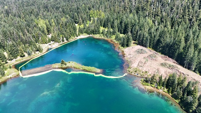
Kachess River Restoration Project
See what KCT was up to the summer of 2023. The whole project was completed in under 4 months. Following returning flows in the fall, there were 26 Bull Trout redds (or nests) reported above the restoration area. This is the second highest redd count since 2000, when redd surveys began annually in Kachess River. It is the hope that the restoration will provide the necessary elements for the rearing Bull Trout – Cold, Clean, Complex, and Connected Habitats.
Blog Posts
UNDER CONSTRUCTION: Gold Creek Valley Restoration Project
After 14 years of extremely hard work from some very dedicated conservationists, the Gold Creek Valley Restoration Project is officially under construction! KCT and partners from the USFS, USFWS, WDFW, BOR, permitters from the state and the county, the
The Eagle Bend Garbage Barge
Eagle Bend Conservation Area Clean-Up, April 2026 In March, KCT discovered an abandoned camp site deep in the wetlands on the far side of the pond at KCT’s Eagle Bend Conservation Area. While we do allow respectful day use on our conserved lands, camping

What’s In The Pond?!
SO Many Fish! If you've been following our Gold Creek Valley Restoration Project, you may have found yourself wondering about Gold Creek Pond. Gold Creek Pond didn't start off as a pond at all. Before the mid 1900's, this area was a forested wetland,

COMPLETE: Upper Kachess River Restoration Project
2019-2025 After 6 years, KCT’s work on the Upper Kachess River Restoration Project is officially COMPLETE! Starting in 2019, KCT began working with the US Forest Service (the landowners for this project) to develop required agreements and permits for the project. In 2022, KCT brought on experts
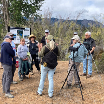
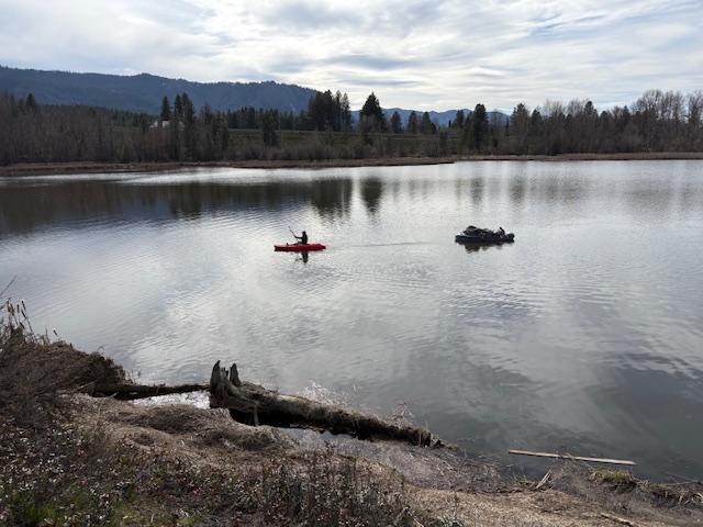
Birding and Stewardship at Eagle Bend!
Birding and Stewardship adventures at our Eagle Bend Property were a Success! KCT staff and volunteers had just enough good weather on Saturday (5/17/25) to complete our stewardship checklist for the day. These tasks included repairing fencing, removing an old duck hunting blind and other

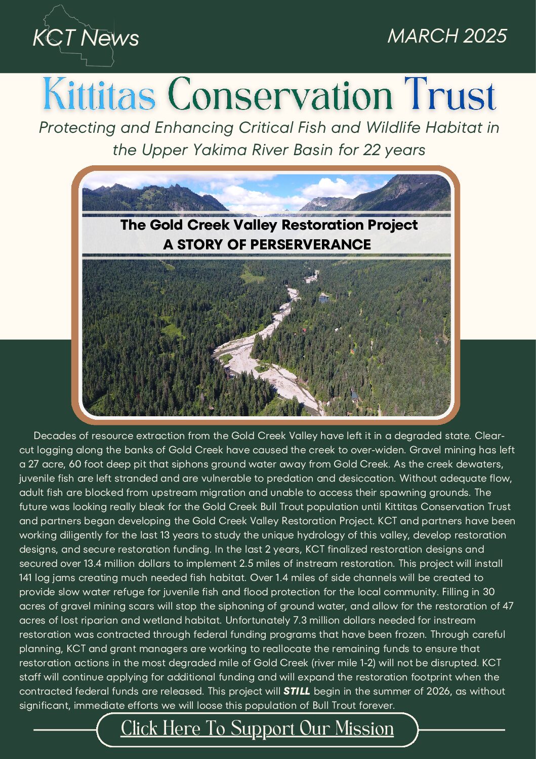
Gold Creek Valley Restoration: Progress and Hurdles
Decades of resource extraction from the Gold Creek Valley have left it in a severely degraded state. How Did We Get Here? Aerial imagery from 1942 shows Gold Creek Valley in a mostly intact state, but by 1954, clear-cut logging had occurred along the banks of much of
Newsletters & Annual Reports
Click image to view full document
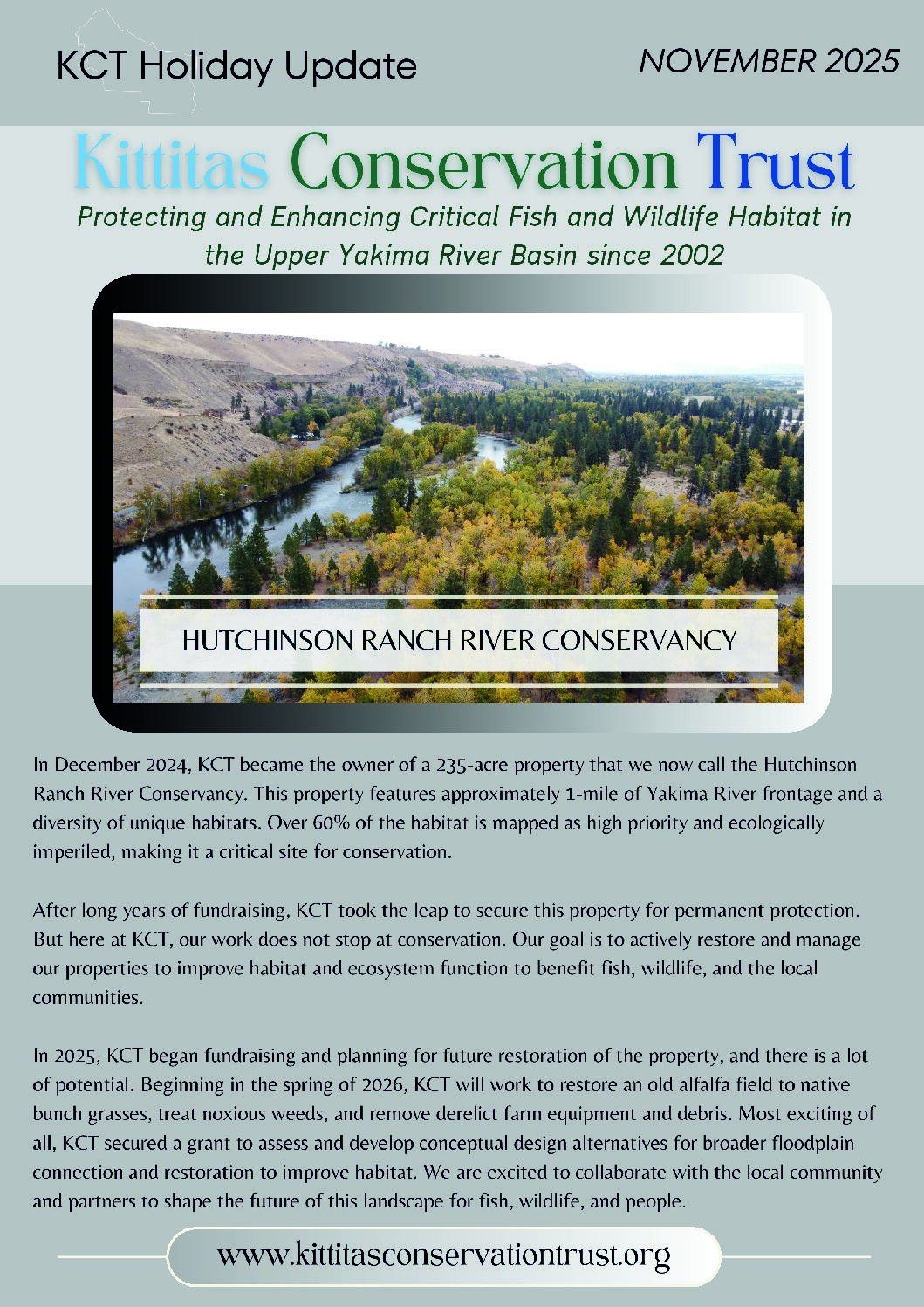
November 2025 Newsletter
March 2025 Newsletter
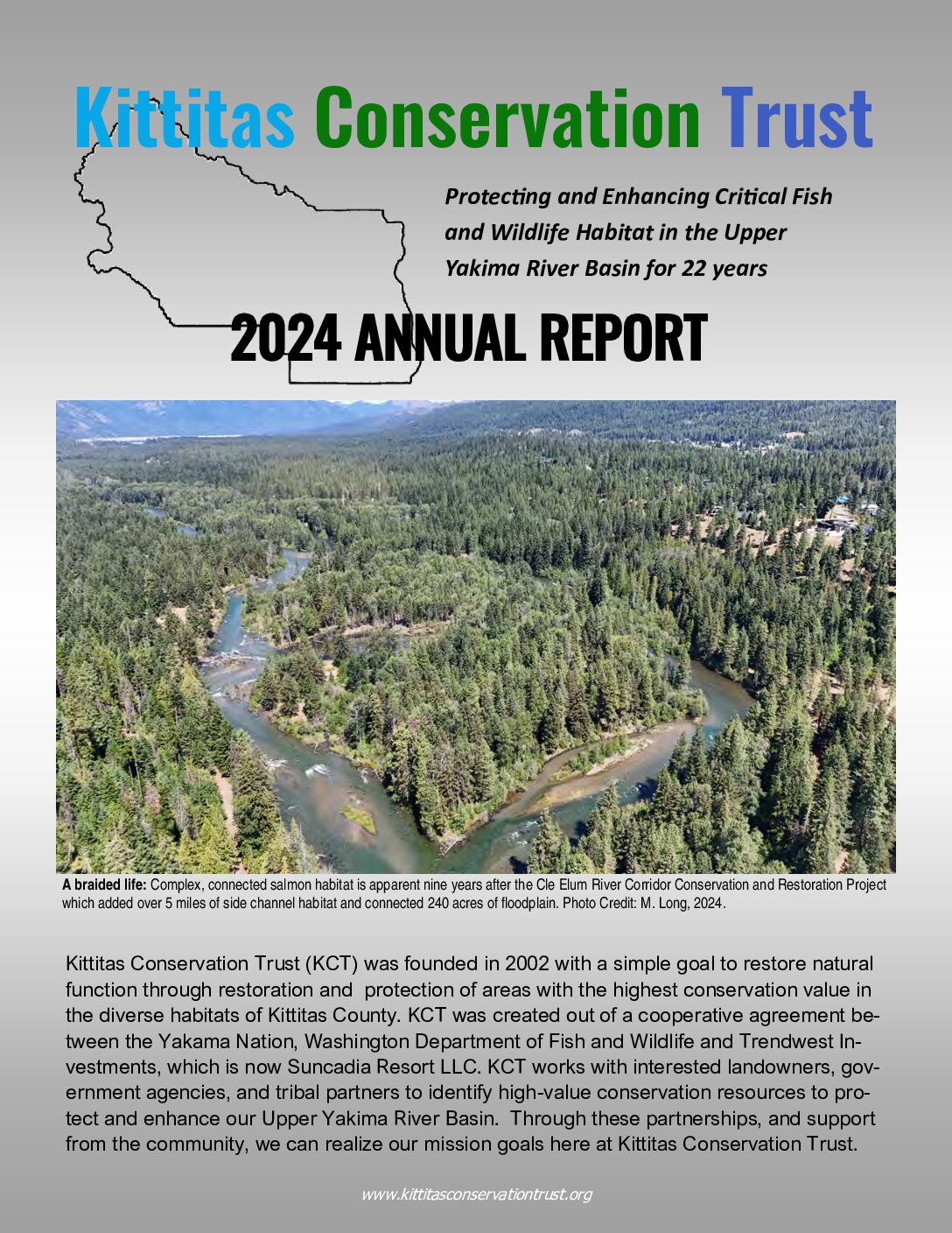
2024 Annual Report
More Videos
Learn about the Cle Elum River Project, which was completed in 2014. This project was done in two phases and required the use of heavy equipment and helicopters. It created several miles of additional side habitat for salmon and refuge from the high flows released throughout the summer. Check it out!
Support Conservation in the Upper Yakima River Basin
Become a steward of these important lands! With your help we can continue to protect the unique habitat and wildlife that make this place special to you!