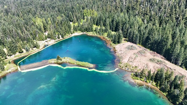
Gold Creek Pond was formerly a gravel pit that WASDOT used to harvest material for highway construction in the 1980s. It takes up approximately 90% of the floodplain (shown in blue) and is approximately 50 feet at its deepest point. Because of its depth and size, the pond disconnects Gold Creek from a significant amount of water entering from the eastern side of the valley.


Some of the water entering from the eastern side is redirected in a channel (shown in yellow) that WASDOT created when they were utilizing the gravel pit. The remaining water enters the pond and then exits through a man-made outlet (shown in red).
The depth of the pond is a significant part of the problem. As a rule water moves in the path of least resistance, which is the lowest point in its path. At a depth of 50 feet, Gold Creek Pond is the lowest part of the floodplain and it pulls water away from Gold Creek.
As a result, in drier months of summer there is not enough water to keep the creek wet and it becomes disconnected.

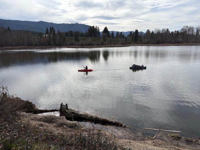
The boat drone taking off on Gold Creek Pond.
Kokanee spawning in the Gold Creek Pond outlet channel.